Gis Geographic Information System
Advertisement

Grass GIS for Mac OS X 6.4.1-3 v.3
Commonly referred to as GRASS, this is a free Geographic Information System (GIS) used for geospatial data management and analysis, image processing, graphics/maps production, spatial modeling, and visualization.
Advertisement
My World GIS v.4. 1. 2011
My World GIS™ is a Geographic Information System (GIS) designed specifically for use in middle school through college classrooms.
Quantum GIS v.1.8.0
Cross-platform and user friendly Open Source Geographic Information System (GIS). Quantum GIS (QGIS) is a user friendly Open Source Geographic Information System (GIS) that runs on Linux, Unix, Mac OSX, and Windows. QGIS supports vector, raster,
Canvas GIS Advanced (Mac) v.9.0.4
About Canvas GIS Advanced (Mac)Adds native support for Geographic Information System (GIS) data to Canvas.
GvSIG desktop v.2.0.0.2023
gvSIG Desktop is a powerful geographic information system (GIS) designed to offer a free solution to all needs related to geographic information management.
OpenJUMP v.1. 4. 2002
OpenJUMP is an open source Geographic Information System (GIS), it can read and write shapefiles and simple GML files. It has limited support for the display of images and good support for showing data retrieved from WFS and WMS web-services.
Mapyrus v.1.004
Plot Geographic Information System data with this tool. Mapyrus is program to plot Geographic Information System data to PostScript, PDF, SVG and web image files. Mapyrus combines a BASIC-like scripting language,
Mapnik v.25.26
Mapnik is an OpenSource C++/Python toolkit for developing GIS (Geographic Information Systems) applications.
CeBuSoft Accounting System
CeBuSoft Accounting Information System - Accounts Payable, Accounts Receivable, Inventory System and Bank Reconciliation. For more information please visit http://www.cebusoft.com or email info@cebusoft.com

Thuban for Linux v.1.2.2
Thuban is an interactive geographic data viewer (GIS viewer) which features methods to visualize, explore, and analyze geographic information.
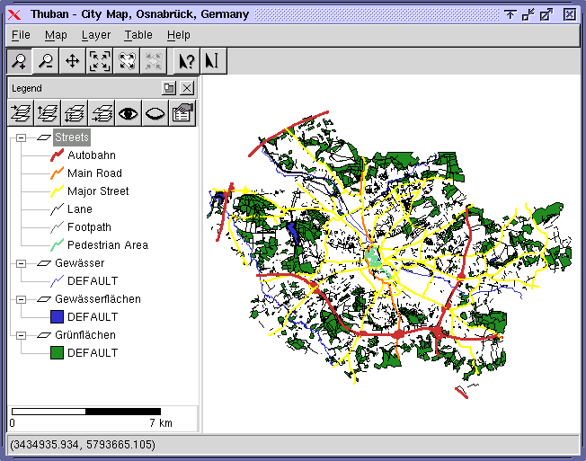
Thuban for Mac OS X 1.0.1-3 v.3
Thuban is an interactive geographic data viewer (GIS viewer) which features methods to visualize, explore, and analyze geographic information.